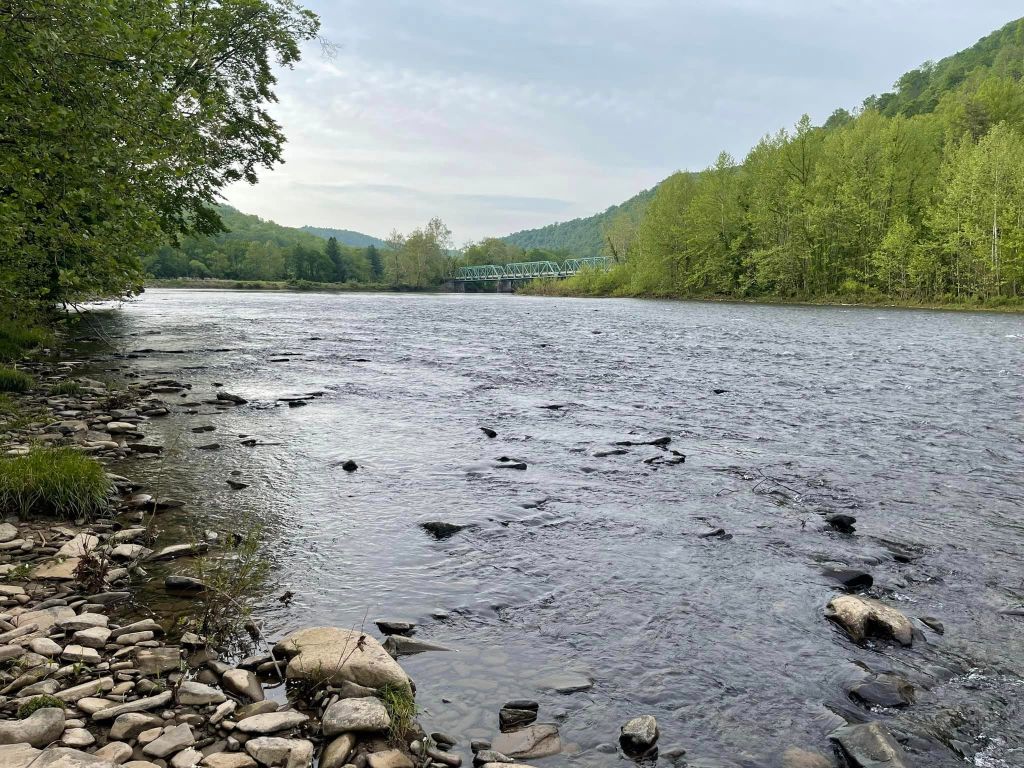
Welcome to Cheat River Island
Come experience a little slice of heaven in the heart of West Virginia. Settle in by the fire pit, listen to the sounds of the river and surrounding woods, and enjoy a place designed for slowing down and getting outside.
Firewood is provided, and we’ve recently added a shower house for your convenience. A generator is also available on the island for lighting and phone charging.
The Cheat River Island airstrip (56WV) is owned by Dave and Pam Graybill. Dave is a private pilot who built the grass airstrip on his island property in the middle of the Cheat River several years ago. The island is open for camping year-round with the owner’s permission. And twice a year, it becomes a very active little airport for the fly-in weekends, with anywhere between 80 to 100 planes and pilots in attendance and others arriving by four-wheelers or car.
Dave and Pam, along with their extended family and a team of volunteers, put on a fun event with a free lunch included. Camping is encouraged on the island along the airstrip. Wake up to the sound of the river, and spend the day looking at airplanes, watching them take off and land while socializing with other aviation enthusiasts.
For backcountry pilots, the adventure extends beyond the island. There are five grass airstrips within a five-mile radius to explore. These strips can be challenging and are intended for experienced, proficient backcountry pilots. We encourage you to watch videos of Cheat River Island and familiarize yourself with the area and conditions before flying in.
Need to restock? A quick five-minute flight east puts you beside a Dollar Store where you can pick up camping supplies and other essentials.
Whether you come to fly or simply get away, there’s plenty to enjoy:
Fishing • Swimming • Canoeing • Campfires • Backcountry Flying
West Virginia has it all. Come and enjoy.

Airstrip Details
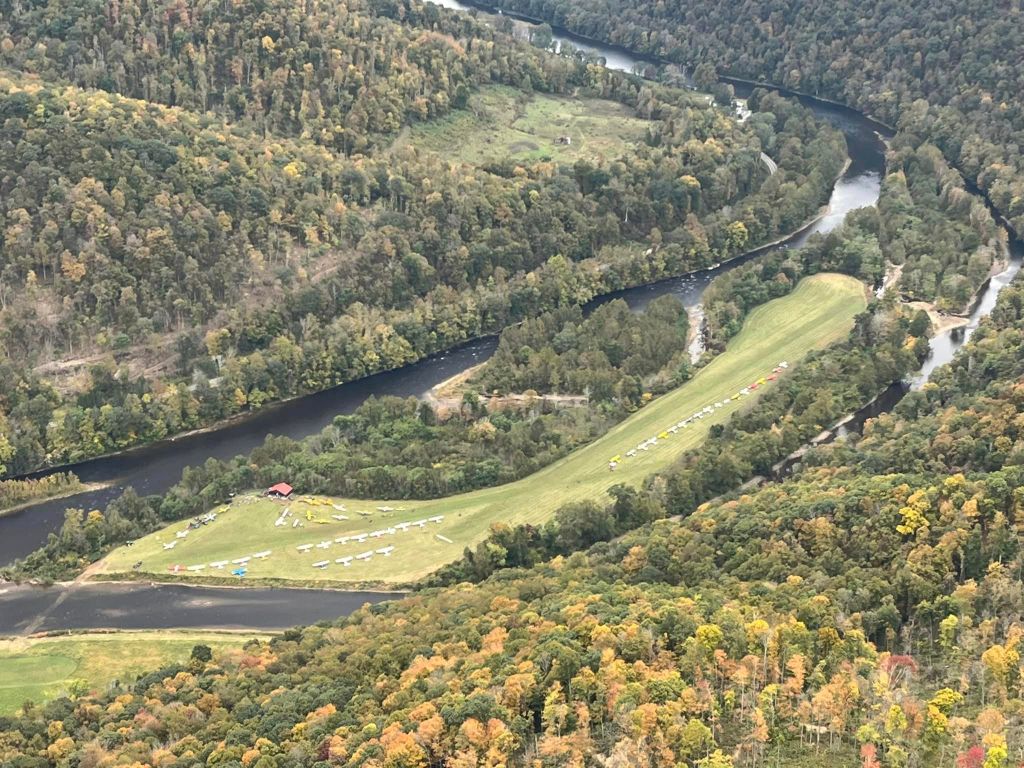
Airport Identifier: 56WV- Cheat River Island
Google Maps location of the island
Procedures Guide
Cheat River Island: 25 miles S.W. of Garrett County (2G4)
Latitude/Longitude: 39.32544°N / 79.66049°W
39° 19’ 31.59” / -79° 39’ 37.77”
VOR-DME: ESL – Kessel – 110.8 – 288° Radial – 32 nm DME
MGW – Morgantown – 111.6 – 151° Radial – 17 nm DME
Field Elevation: 1,410’ MSL
Pattern Elevation: 2,410’ MSL
Arrival Runway: 31 (306° Magnetic) – 2,000’ x 50’ Long – Good Grass
Left Traffic
Departure Runway: 13 (126° Magnetic) – 2,000’ x 50’ Long – Good Grass
Right Traffic
Radio Frequency: 122.9
*Landing on Cheat River is not advised for brand new pilots without grass field experience.
Stay tuned to the Cheat River Fly-In Facebook page for same-day weather & event updates
Join the Cheat River Fly-In Facebook group to connect with other pilots.
The Cheat River
The Cheat River is a 78.3-mile-long tributary of the Monongahela River in eastern West Virginia and southwestern Pennsylvania in the United States. Via the Ohio River, the Cheat and Monongahela are part of the Mississippi River watershed. Owing to the ruggedness of the surrounding Allegheny Mountains, the Cheat remains largely remote with few settlements or developments along its banks. Its headwaters are in the Cheat-Potomac Ranger District of the Monongahela National Forest.
The Delaware (Lenape) Indigenous name for Cheat was reportedly Ach-sin-ha-nac, meaning “stony river.” Cheat River is variously reported to have been named for (1) a French explorer (or an Indian) named Cheat or Chaet, (2) an abundance of cheat grass along its banks (possibly a misidentification of frost-killed wheat), or (3) deceptively deep sections containing whirlpools that presumably “cheated” men of their lives by drowning them. None of these theories have strong documentary support, but the latter is the most often cited.
From Wikipedia